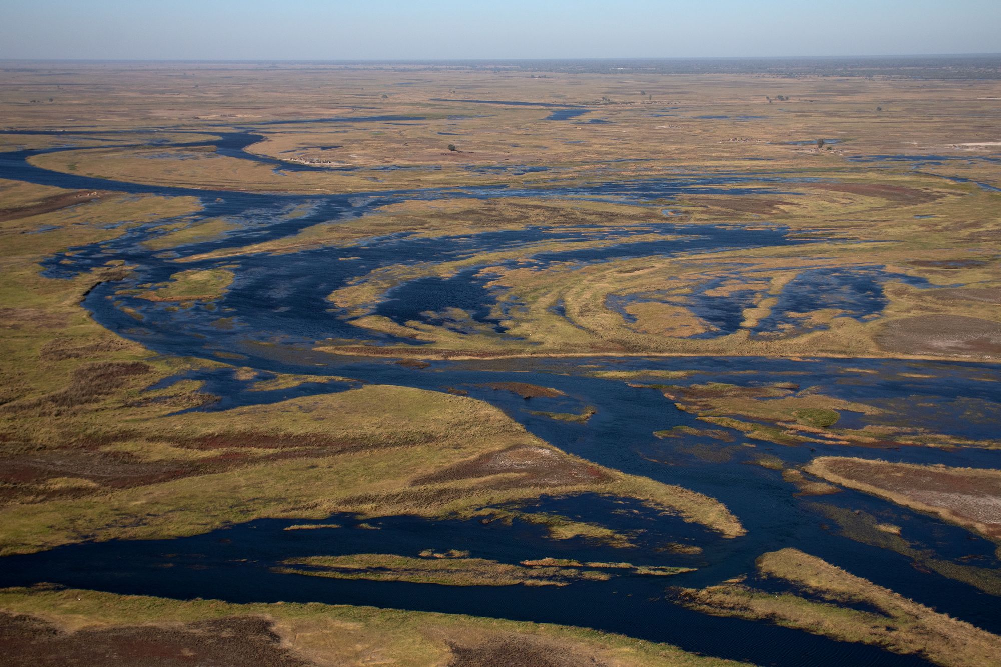
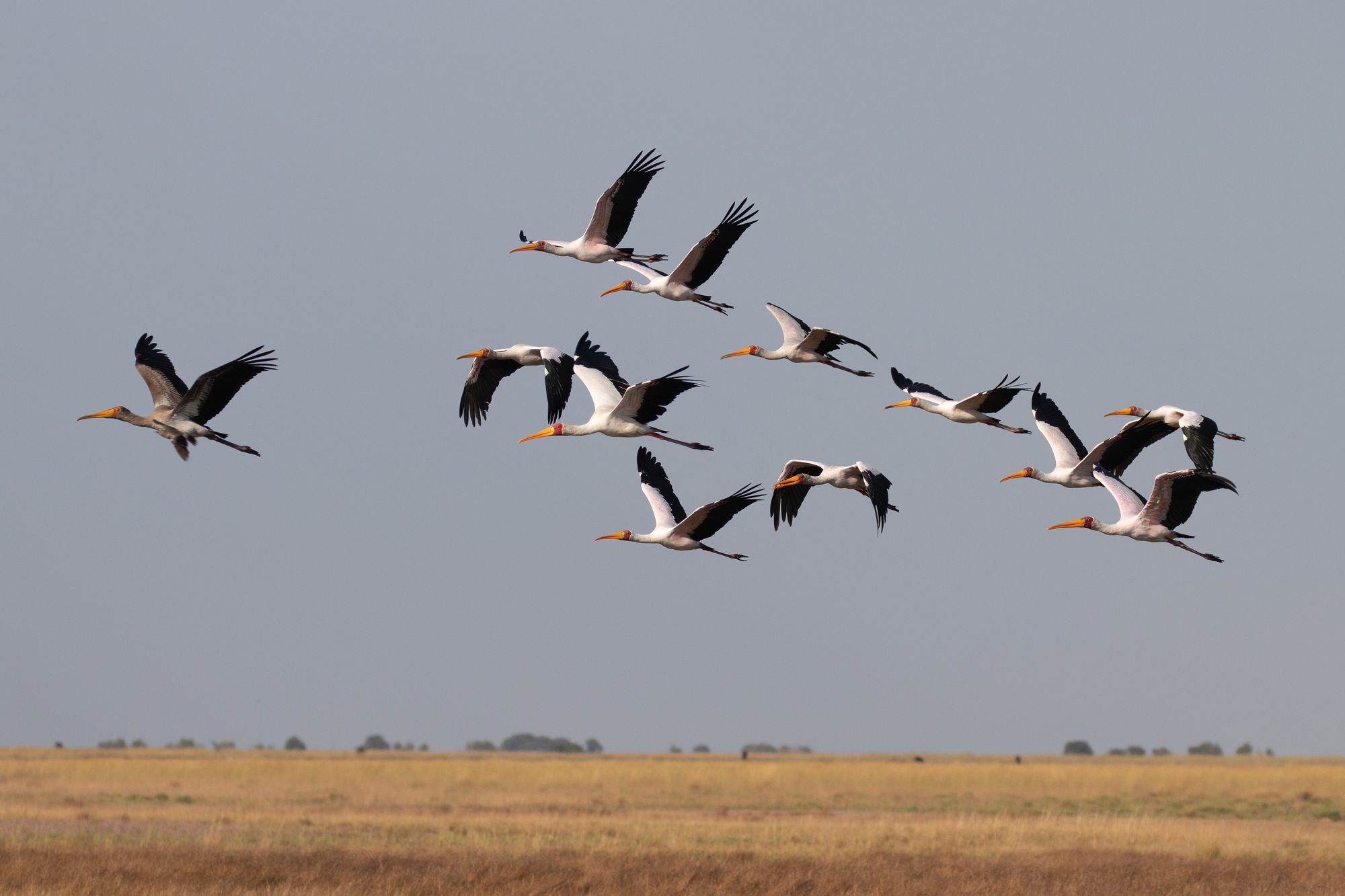
Wetlands are one of the most globally threatened habitats, and understanding how these systems are linked at the landscape scale is important for conservation. The world is small when you have wings, so aquatic birds can tell us a lot about wetland connectivity. Technology has increasingly allowed ecologists to use varying types of GPS tracking devices to study largescale movements of birds. Such high-resolution GPS data are providing unprecedented insights into where birds move, and statistical modelling is helping us understand why they move the way they do.
In much of Africa, seasonal rainfall and flooding are important drivers of wildlife ecology. Species like waterbirds that rely on flood pulses for regulating foraging or nesting conditions must be tuned into these dynamics on a regional scale so they don’t miss optimal habitat conditions. But how exactly a given species responds to habitat variations from season to season and year to year depends on its diet, nesting requirements, and other biological factors. Tracking the movements of multiple waterbird species is allowing us to answer these questions and is providing insights into the ecology of individual species. Combining these species-specific dynamics together into a larger picture of the waterbird community will ultimately allow us to understand landscape scale ecological processes that influence connectivity of wetlands, regionally and across the continent.
Our ongoing tracking work includes the following species:
- Greater Painted Snipe
- Dwarf Bittern
- Glossy Ibis
- African Spoonbill
- Great Egret
- White-faced Whistling-duck
- Yellow-billed Duck
- African Pygmy Goose
- Whiskered Tern